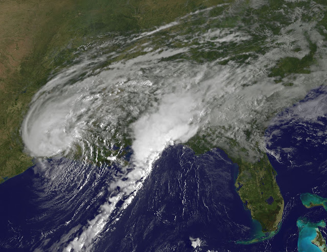
NOAA’s GOES-East satellite provided a visible-light image of Tropical Storm Harvey on Wednesday, August 30, 2017 at 7:30 a.m. EDT (1230 UTC), hours after it made landfall at 4 a.m. CDT just west of Cameron, Louisiana. At the time of the image, the bulk of showers and thunderstorms around Harvey seemed to stretch from the northern to southwestern quadrants of the storm.
Image Credit: NASA/NOAA GOES Project


 About
About Tags
Tags Popular


0 komentar:
Posting Komentar